Where the Wind Comes Sweeping Down the Plain...
Posted by scissortailed , Thursday, May 13, 2010 12:32 AM
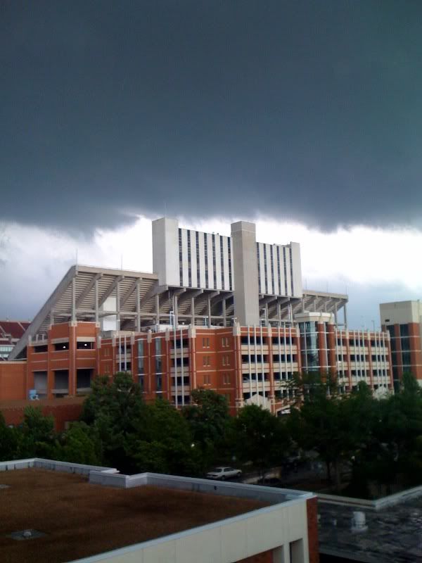
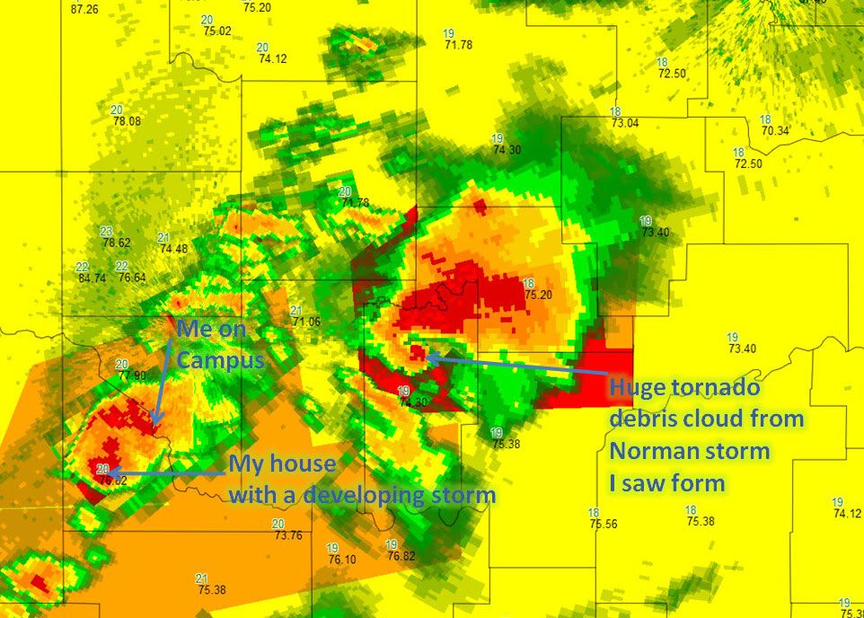
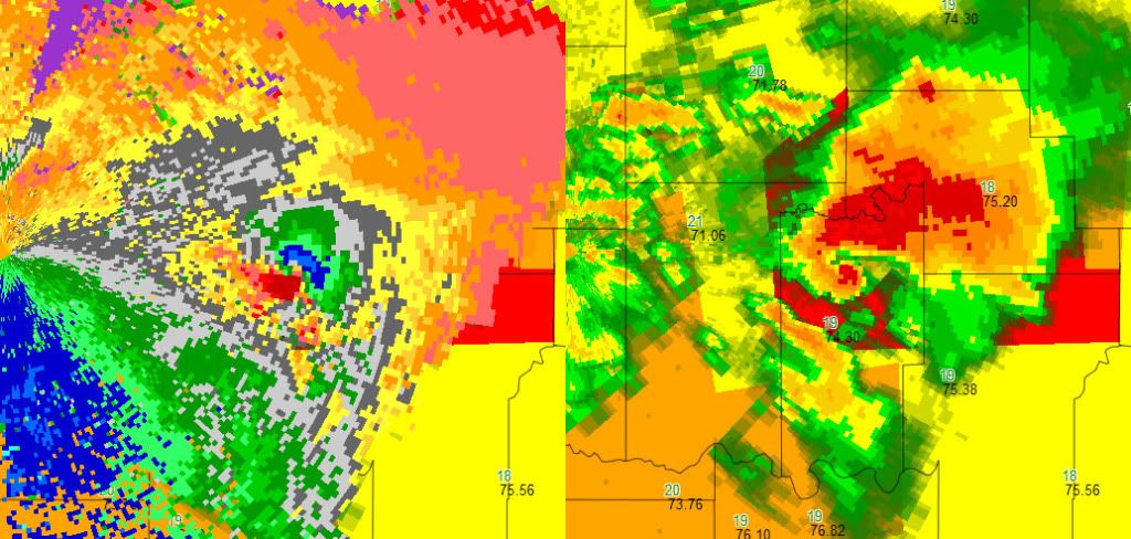
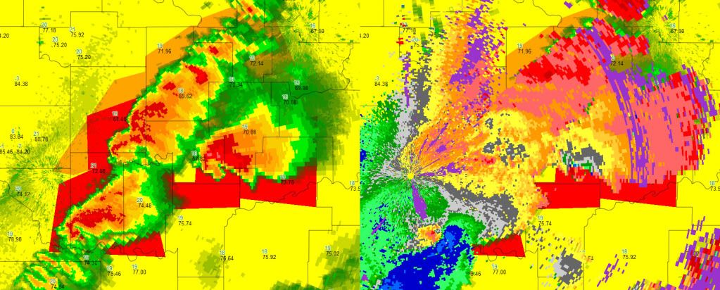
As you know, May 10th was quite the day here in Norman, Oklahoma, as well as the rest of the state. But things become more real for me when I learned a friend lost their home.

Debby's studio was in the house's loft, where she could look out over their property while blogging or composing artwork. All of her artist's tools -- paper, watercolors, pastels, and pencils -- as well as original artwork and sketchbooks, were blown away in an EF-2 tornado, as they huddled in the storm shelter with their kitty, Gizmo.
Realizing the significance of her loss is what hit me the hardest as I tried to contemplate the severity of damage they likely endured.
To show her how much we appreciate her art, and that we know how important it is to her, I have organized a studio rebuilding campaign with Norman residents, artist and non-artist friends of mine from Louisville Kentucky, and anyone else around the world wanting to show support.
Debby mostly draws and sketches, and here is a list of some supplies she uses in her work:
- Favorite paper: Rives BFK. Other favorite papers include Fabriano Ingres toned paper, Arches cold press 140 lb, and Somerset paper
- Favorite sketchbook: Moleskine notebooks
- Favorite pencil: Kohinoor's Triograph 6B
- Pastels (not sure what brand of pastel -- I'm assuming chalk pastels, but maybe she uses both oil and chalk)
- Watercolor (not sure of brand)
- Pen and Ink (These are generally black etchings... maybe with Pigma Micron pens? I think I have seen them laying around the house.)
- Acrylic paint
Debby Kaspari
c/o Rosemary Knapp
535 S Flood Ave.
Norman, OK 73069
For those interested in donating financially, email me directly at dkasparistudiofund (at) gmail (dot) com for more information.

Any new information about the fundraiser I will post either here or on my Facebook events page.
Thank you for any love and support shown to these amazing people!
Update:
Earlier today (May 12), Debby and Mike were at the house searching through the rubble. They were fortunate to find her banjo and Mike's guitar intact, as well as some artwork. Hopefully there'll be some more good news in the future.

Update:
5/20/2010
I am going to stop donations via the PayPal account on May 22nd to coincide with us mailing any items collected from Louisville, Ky, but if anyone would still like to make a contribution send me a message at dkasparistudiofund (at) gmail (dot) com and I'll tell you where to send it. Thanks for *everyone's* help! ~Lauren
Posted in
Debby Kaspari,
destruction,
May 10 2010,
Michael Kaspari,
tornado
|
11
comments